
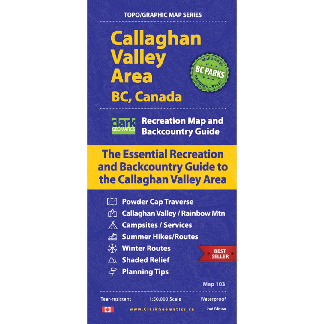


Callaghan Valley Area Map, 2nd Edition
- Lowest Price Guarantee
- In stock, ready to ship
Pairs well with
This is a 1:50,000 map covering the Callaghan valley, Squamish-Cheakamus Divide, and the Rainbow Mountain and Mt. Sproat areas. This map highlights trails, routes and descents for your winter and summer adventures. A second 1:30,000 map provides more detail for the upper Callaghan Valley area. The maps have 25m contours and shaded relief, as well as hike and traverse descriptions.
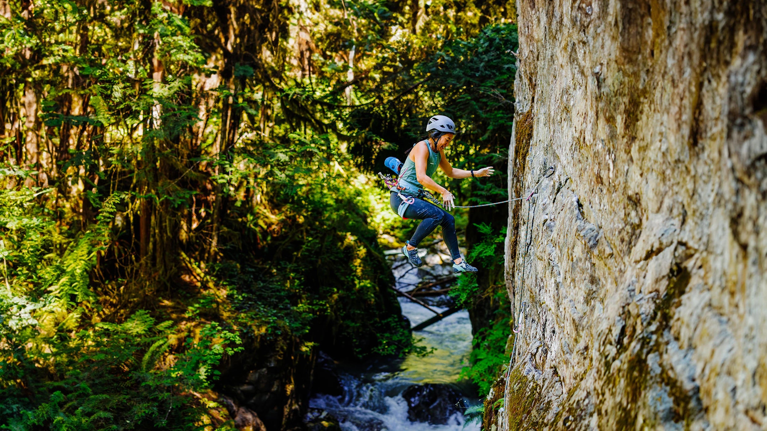
The Callaghan Valley is one of the best kept secrets on the Canadian West Coast. A short, 20-minute drive from Whistler gets you twice as much snow! Back country hikers, bikers and skiers alike will enjoy this one-of-a-kind map as it offers the most accurate and up-to-date access and route information available for Squamish-Cheakamus Divide, up to Callaghan Park and east of Rainbow Mountain. You won't find another map like this for the Callaghan Valley area - anywhere.
- Regionality: British Columbia
- Language: English
- Tearproof: Yes
- Waterproof: Yes
Specifications
- Edition: 2nd
- Scale: 1:30,000; 1:50,000
Climb On Equipment offers free in-store pick up and ships within Canada & USA (some restrictions apply).
Most orders qualify for free shipping when over $99. Heavy/bulky items such as bouldering pads and faster shipping options do not qualify for free shipping.
Work & Rescue Orders may qualify for volume discounts. Volume discount orders do not qualify for free shipping. For a more detailed information on shipping, please go to our Shipping Policy page or learn about Returns and Warranty.